
Work a Springfield Township Street Address
Begin the Springfield Township street directory process with the current street address in the Lucas County Auditor's AREIS search. A street result is a property lead, not a list of every person associated with a home. Capture the parcel number, owner-of-record label, legal description, transfer information, and the exact address label returned. Those details give the next office a precise way to locate a record. If an address is near a postal or township edge, preserve the delivery name as displayed but do not let that name replace the parcel or legal description.
The useful Springfield Township order is address, parcel, map, document, and historical listing. Each step answers a narrower question. The parcel card provides a current Springfield Township property reference. The map helps identify the correct lot and the nearby geometry. A deed connects named transfer parties to a legal description. A dated directory entry can show how an address was listed in that edition. This keeps a modern ownership record separate from an old address listing.
Use AREIS address search for the first parcel check. The captured screen shows the separate street components used for a Springfield Township street directory search.
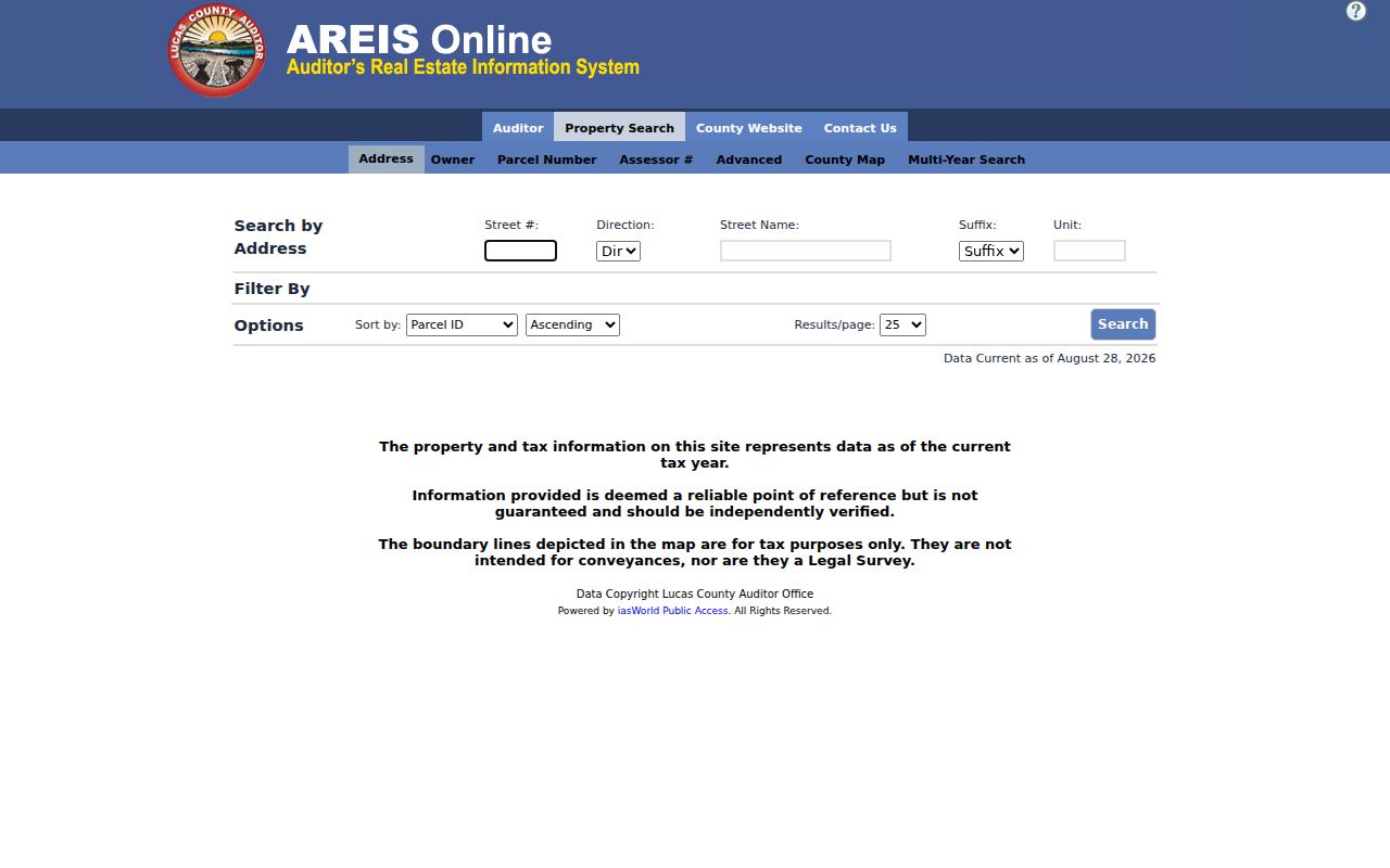
Enter only the parts known, then inspect the returned situs and parcel before following an owner name into another record system.
- Enter the street number, direction, street name, suffix, and unit when applicable in AREIS. Save the parcel or assessor number from the matching result.
- Open the parcel details and record the owner-of-record label, legal description, transfer details, tax and property attributes, and historical transfer-card lead where available.
- Use County Map to confirm the parcel sits on the intended street segment. Select or identify nearby parcels individually instead of treating one result as the whole street.
- Take the legal description and transfer names to the Recorder's index. Search a bounded time period and confirm each instrument before moving backward.
- For a historical address, ask the Toledo Lucas County Public Library to check the relevant city or suburban directory edition and its street index when available.
- Use voter information only for its published, individual-registration purpose. It is not a public street-by-street household browse tool.
Note: A parcel number and legal description remain useful when a postal label or street number does not match an older source.
Use AREIS for Springfield Township Street Records
AREIS is the countywide real-estate and mapping system used in Springfield Township's own zoning guidance. Its address form separates the details that can otherwise get blended in a casual search. The search also has Owner, Parcel Number, Assessor Number, Advanced, County Map, and Multi-Year modes. Advanced Search can work with street name, municipality, ZIP Code, legal description, land use, sale data, and other property criteria, but a returned Springfield Township result must be read for its own field labels.
| AREIS field or mode | Input | Street-directory use |
|---|---|---|
| Street #, Direction, Street Name, Suffix, Unit | Address components | Find a particular parcel by street address. |
| Owner | Text, with wildcard support in owner searching | Cross-check the legal owner name after finding a parcel. |
| Parcel Number or Assessor # | Unique property identifier | Carry a precise reference into map and records requests. |
| Advanced Street Name, Municipality, ZIP Code | Filters | Build an address-oriented candidate set, then inspect results. |
| Legal Description | Text or filter | Bridge a street address to a lot, block, or subdivision. |
| County Map and Multi-Year | Map or mode | Review parcel context and available historical property functions. |
The AREIS advanced map provides the map-side route for a street search. The screen is useful because it separates an address lookup from parcel selection and geographic browsing.
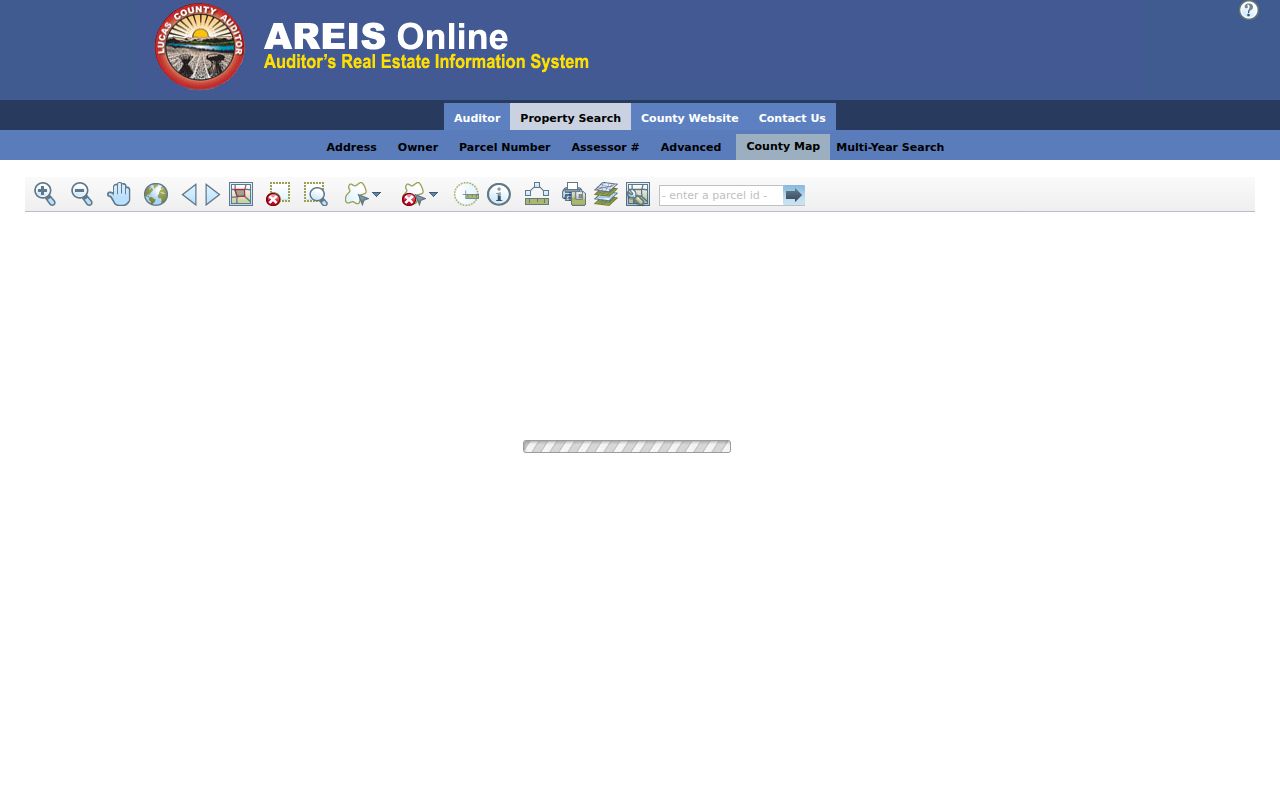
Use a ZIP filter carefully. Research did not establish whether every returned ZIP label is a situs field or a tax-mailing field, so the individual parcel card remains the check.
Read Springfield Township Parcel Results Carefully
A Springfield Township parcel card can provide owner of record, sale history, taxes and payments, property and building attributes, a front structure photograph, building sketch, zoning district, historic transfer cards, and mapping context. The township specifically directs users to AREIS for owner, parcel, zoning, sales, taxes, property-tax distribution, structure photo, building sketch, and historic transfer-card information. That is valuable address evidence, yet it does not convert a property card into a complete resident list.
The key local distinction is between the physical parcel and a correspondence address. A tax mailing address can point elsewhere. A street address can identify a parcel with a person not shown as the owner of record. Record the labels exactly as the card presents them and use a dated directory or other appropriate source when the question is about a past address listing. This is the practical limit behind a Springfield Township street directory search.
- Parcel
- A county property unit identified by a parcel or assessor number. It is the strongest local anchor for moving from the map to a record request.
- Situs address
- The physical street address used to locate the property. It is not the same thing as an owner's mailing address.
- Legal description
- The lot, block, subdivision, or other land description carried through recorded instruments when street naming changes.
- Historic transfer card
- An AREIS historical property lead, especially useful beside an actual Recorder instrument and dated map material.
Map Springfield Township Streets Parcel by Parcel
The Springfield Township County Map can center on an address or intersection, then move through a short street segment. Identify opens property context for one parcel. Point, box, freehand, polygon, line, and buffer tools can make a selected set, while Selection Manager reports selected and available parcels and offers a current list. Open each Springfield Township parcel card separately. The selection set describes map geometry, not a shared household or a legal boundary.
Layers can add building footprints, aerial imagery, floodplain, school districts, wetlands, census tracts, and property-value themes. Those layers help distinguish places along a Springfield Township street, especially where lots or postal names are similar. Measure Distance is a reference tool only. The county warns that Springfield Township map boundaries are tax/reference information and are not intended as a legal survey or conveyance description.
The Lucas County GIS maps and data page describes the official map and data routes, including the county's parcel and aerial resources. Map selection is most reliable when followed by the parcel card, then by the legal description in a recorded instrument.
Springfield Township Street Voter Records
Election information has a different address role from property records. Ohio's My Voter Information lookup requires first name, last name, and county, and may narrow a broad result with a street selection. It is an individual registration and precinct tool, not a directory that displays each person on a street. A no-result can reflect a name variation, status, jurisdiction, or a protected record rather than a conclusion about an address.
For geographic research, the Lucas County voter-report tool offers precinct and district filters, address-sorted Walking List output, CSV or PDF options, and an explicit mailing-address control. The output remains limited by Ohio's public-record exclusions. It can show registration information within the allowed scope, never ballot choices or a complete household list.
Springfield Township Street Name Keys
A street name, mailing place, and legal description are separate search keys. An AREIS situs address locates the parcel. An owner mailing address is tax correspondence. The Recorder's lot, block, subdivision, or other legal description ties the land record together when delivery names or street numbering shift. Keep all three labels in research notes rather than replacing one with another.
Historic sources add another set of keys. Springfield Township was formerly connected with Waynesfield, and later boundary changes can surface Monclova or Adams Township references. Drakes, Hardy, and Holland Station also appear in the local historical account. Test those place names beside an old street, map edition, or directory year before treating an archive result as unrelated.
Trace Springfield Township Street Deeds
When a street search reaches the ownership question, move from AREIS to Lucas County Recorder Public Access. The Recorder holds permanent land records such as deeds, certificates of transfer, mortgages, land contracts, liens, plats, and powers of attorney. The online portal reports documents from 1985 and plats from 1815. It provides name, summary, and detail searching with party-name, role, instrument, book/page, document ID, date-range, category, and document-type controls.
Use the latest Springfield Township transfer as a starting point. Search the named buyer as grantee and the seller as grantor within a sensible date range. Then compare legal description, lot, block, subdivision, recording date, and document reference before repeating the sequence with the predecessor transfer. A street number is not the Recorder's durable indexing key. The legal description is the link that can survive changed numbering and mailing names.
The Recorder's public-access page is the online channel. For older material not returned there, the counter can assist with grantor/grantee, deed-book, or microfilm work when given a legal description and date range. Its public-record policy also permits a narrowed request without a stated reason or Ohio residency. Copies are listed at $2 per page; email requests can go to Recorder@co.lucas.oh.us and fax requests to 419-213-4284.
The recorded-instrument screen at Recorder Public Access is the source represented below.
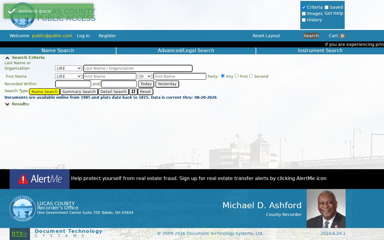
Recorder data can support a transfer trail, but a recorded party name is not by itself proof of present residence at the street address.
Request Springfield Township Address Files
Planning and Zoning is a separate Springfield Township address-file source. Springfield Township has no separately verified searchable public permit-history database, so lead with the offline route: identify the street address, parcel or assessor number, approximate application or meeting year, and the specific record type. Ask the department that created the record for electronic copies first. The township's zoning process includes residential and commercial application categories, complaints, variances, zoning changes, site-plan matters, and meeting records.
The residential zoning certificate form distinguishes subdivision, plat, lot, parcel address, occupant, parcel or assessor number, owner or agent contacts, zoning district, project details, and completion information. Those fields make a targeted request far more useful than a broad surname request. BZA agendas, notices, minutes, and decisions can provide an alternate route when a single application file is incomplete. Check the current meeting schedule before relying on a meeting date.
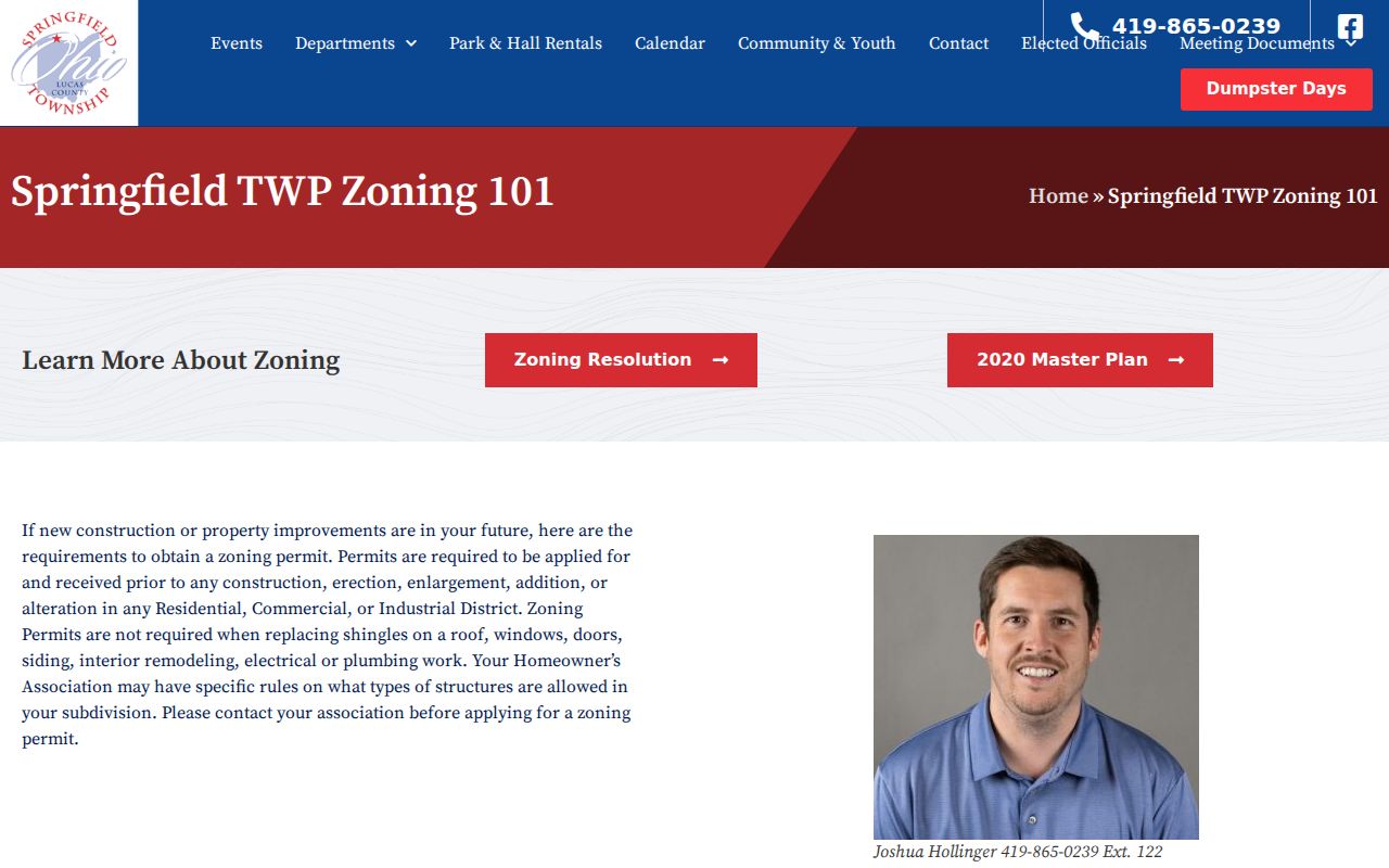
The township zoning guidance is the local route and points back to AREIS for parcel details. It illustrates the kinds of street and parcel information used in a zoning intake.
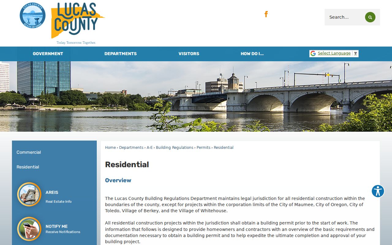
For historic county residential files, Lucas County Building Regulations has jurisdiction and asks for the project address, parcel, and date; no public address-history database was located. Its office can be reached at 419-213-2990.
The county residential building route lists zoning approval, water and sewer approval, legal description, site plans, construction documents, and the application as parts of the current process.
County and township files answer different questions, so request each one by its own creator and address reference.
Match Past Springfield Township Street Listings
Historical Springfield Township listings belong with the library collection rather than the current parcel system. Toledo City Directories are held by Toledo Lucas County Public Library from 1858 to 1935 on microfilm and from 1936 to the present in books. Directories from 1910 forward also index streets and addresses alphabetically. The later Toledo Suburban Directories, held from 1957 to the present, are often the better first check for a Springfield Township address.
Ask the Local History and Genealogy Department to confirm the Springfield Township edition's geographic scope before treating a missing listing as a negative result. Township addresses may be filed under Holland, Maumee, Monclova, Sylvania, or Toledo, depending on time and location. Historical labels add another layer: Springfield formed from Waynesfield, and the historical account also uses Monclova, Adams Township, Drakes, Hardy, and Holland Station as search keys.
The library materials are the right next step for a dated address listing; the full collection detail appears in the Springfield Township city directory collection. Compare an edition's street listing with the alphabetical name entry and a map from the same era. Do not mechanically convert an older number into a modern delivery address.
Note: Directory entries establish a listing for one edition, while a deed or parcel card answers a different property question.
Limits on a Springfield Township Street Directory
Springfield Township address research has firm boundaries. AREIS can show parcel and owner-of-record context, while the Recorder can show recorded land instruments. Neither source automatically identifies every person who stays at an address, receives mail there, or has another connection to the property. State voter information is an individual name lookup, not a public browse-by-street household product. Vehicle-address information and utility customer information are not a substitute for these records, and protected records are not gaps to work around.
For a current Springfield Township registration check, the Ohio Secretary of State's My Voter Information lookup requires first name, last name, and county. The Lucas County voter-report generator can produce geographic output with precinct and district filters, address sorting, and CSV or PDF choices, but public-file rules and protected-voter exclusions still apply. It cannot reveal ballot choices or turn a street search into a complete roster.
| Address question | First local source | Second check | What to reconcile |
|---|---|---|---|
| Current owner of record | AREIS address or owner search | Most recent Recorder deed | Owner label, transfer parties, and legal description. |
| Property attributes or map setting | AREIS parcel card and County Map | Historic imagery or map material | Current tax data versus dated visual context. |
| Past address listing | TLCPL city or suburban directory | Alphabetical entry or obituary index | Edition, spelling, number, and timeframe. |
| Address project file | Township zoning request | County Building Regulations file | Project date and parcel, not personal conclusions. |