
Springfield Township ZIP Code Coverage
This local directory begins with a qualified geographic inventory. Census ZCTAs intersect the township polygon in seven places. A ZCTA is a Census approximation, not a promise that every address at an edge receives that postal ZIP. The county ZIP map is useful for orientation, but a complete street address must be checked through USPS before it is put on mail or used as a search filter.
| Postal ZIP | Township Area Reference | Post Office Anchor | Search Note |
|---|---|---|---|
| 43528 | Township Hall has a Holland mailing example | Holland Post Office, 6923 Angola Rd. | Strong verified township mailing example, not a townshipwide rule. |
| 43537 | Southeast township station uses a Maumee mailing identity | Maumee Post Office | Shows the postal and civic boundary mismatch. |
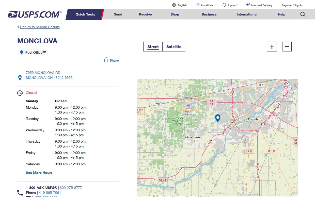
| 43542 | ZCTA edge intersection | Monclova Post Office, 7959 Monclova Rd. | Confirm an individual delivery address through USPS. |
| 43558 | ZCTA edge intersection | Swanton Post Office, 250 S. Hallett Ave. | Geographic reference only. |
| 43560 | ZCTA edge intersection | Sylvania Post Office, 5745 Post Office Way | Geographic reference only. |
| 43615 | ZCTA edge intersection | Reynolds Corners Post Office, Toledo | Geographic reference only. |
| 43617 | ZCTA edge intersection on the county map | No direct USPS facility was captured in the research | Do not infer a deliverable township address from the map label. |
The seven postal-ZIP intersections are a starting map, not seven neighborhood rosters. The research did not establish a ZIP realignment year, a townshipwide number grid, a per-ZIP population count, or a complete postal-boundary map. The useful local fact is the split between geographic intersection and actual delivery confirmation.
Note: Treat an edge ZIP as a map clue until USPS returns a result for the whole Springfield Township address.
Springfield Township 43528 Postal Identity
Holland 43528 is a verified Springfield Township mailing example because Township Hall uses that postal identity. It is not the postal name for the whole township. That distinction matters when a search begins with a Holland address: the parcel may be in Springfield Township, but the postal label cannot settle the political boundary, school district, municipal-court territory, or legal description.
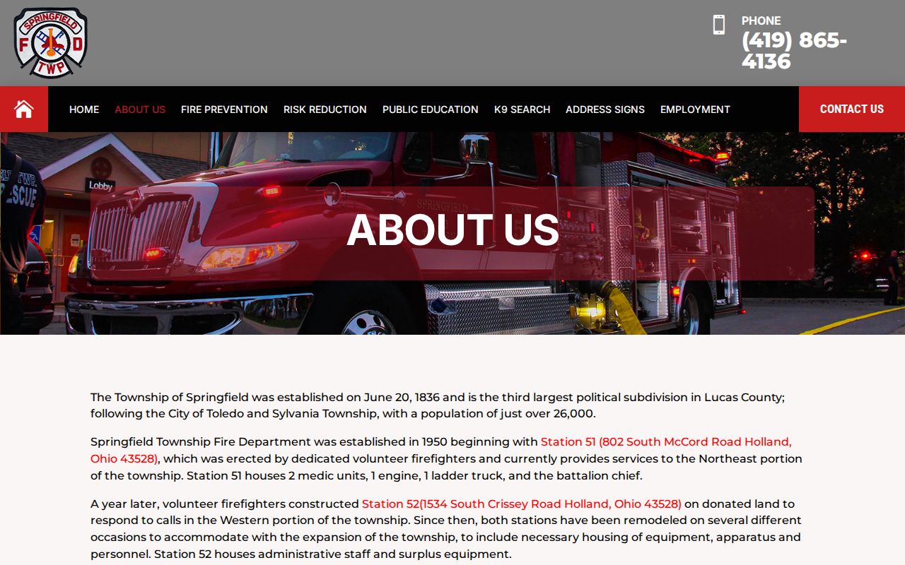
The Springfield Township Fire Department's about page provides another local postal clue. Its station listings show township services using Holland mailing identities, while the same department serves different parts of Springfield Township. Use the local facility as evidence of a mailing pattern, not a reason to assign every nearby parcel to one postal ZIP.
The following Springfield Township Fire Department capture documents the local service context behind those mailing labels. Its address examples should be read alongside the exact address returned by USPS.
Once a Springfield Township postal ZIP is confirmed, use the county property system for parcel details. Postal delivery names are useful search terms, but the Auditor and Recorder preserve the records that tie the address to the land.
Springfield Township 43537 Postal Identity
Fire Station 53 serves the southeast part of Springfield Township with a Maumee 43537 mailing identity. This is the local geography quirk that makes a postal directory more useful than a simple city list. A reader can have a Springfield Township address record and a Maumee postal name at the same time, without either label changing the parcel's governing township.
The location is also a reminder to choose court records by the Ohio Turnpike boundary, not by the mailing city. Sylvania Municipal Court serves the portion north of the Turnpike's northerly boundary and Maumee Municipal Court serves the portion south. Postal delivery and judicial territory are different systems, so the correct court requires a map and address check.
A Springfield Township postal ZIP should therefore be recorded with the physical address, government jurisdiction, parcel or assessor number, and legal description. Those four labels make an ambiguous locality easier to research without claiming that a postal city defines the township.
Note: A postal city is a delivery label, so it should never replace the parcel jurisdiction or legal description.
Confirm a Springfield Township Postal ZIP
Use the USPS postal lookup when the question is what ZIP should appear on mail to one physical address. USPS accepts a complete street address with city and state, and its page also provides city-and-state and ZIP-to-city routes. It does not confirm that a particular person or organization is at an address, so it belongs at the address-confirmation step rather than the identity-verification step.
This USPS lookup capture shows the available lookup paths. Use the address route for delivery confirmation, then retain the returned result with the date of the check.
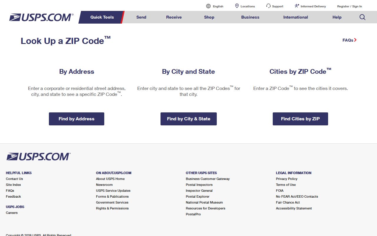
Do not use a city-by-ZIP result as proof that all of Springfield Township falls inside one postal area. A delivery result answers the mailing question for that address only. For an edge address, check the county map and the parcel card after the postal result comes back.
Springfield Township AREIS ZIP Filter
Lucas County Auditor AREIS Advanced Search exposes a postal filter among its property criteria. It can be used with street name, municipality, legal description, land use, owner name, parcel number, sale information, and other property fields. The research did not capture a live multi-result session, so the postal-ZIP filter should be presented as a way to narrow property records, not as a list of township residents or a count of people.
| AREIS Field | Type | Research Use | Important Limit |
|---|---|---|---|
| ZIP Code | Address-geography criterion | Narrows a parcel search | Inspect result labels before deciding whether it is situs or mailing geography. |
| Street name or municipality | Text or selection criterion | Refines a local area | Postal city and political jurisdiction can differ. |
| Owner name | Text with wildcard support | Finds owner-of-record parcels | Owner name is not an occupant list. |
| Legal description or parcel number | Text or numeric criterion | Provides a durable parcel anchor | Recorder documents, not USPS, define the legal land trail. |
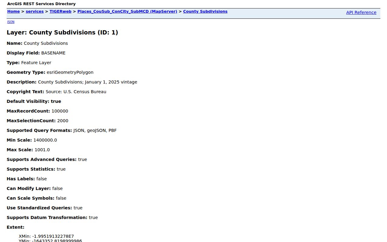
The Census TIGERweb county-subdivision service is the geographic source for the Springfield Township polygon. Its boundary layer gives context for the ZCTA intersections but has no authority over postal delivery.
This Census service capture shows the county-subdivision layer used for that distinction. It supports a geographic reference, not a delivery-address conclusion.
Before describing an AREIS result, preserve whether the returned field says situs, mailing address, or another label. That exact wording prevents a ZIP filter from being mistaken for a person-location search.
Search Springfield Township ZIP Areas
A postal ZIP can reduce the number of property records to inspect, but it should not become the only search term. Start with the confirmed delivery address, then use the county's property and map tools to identify the parcel. The Lucas County voter-report generator has precinct and district filters plus address-sorted Walking List and CSV choices, but the research captured no direct street-name or ZIP filter. Ask the Board of Elections for current public-record procedures rather than assuming a ZIP-wide voter extract exists.
- Confirm the full mailing ZIP through USPS, keeping the delivery result separate from the name of the postal city.
- Use AREIS Advanced Search with its ZIP field and, when needed, street name, municipality, legal description, or parcel number.
- Inspect the returned field labels to determine whether the ZIP refers to a physical parcel or a tax mailing address.
- For election geography, identify the relevant precinct or district and ask the Lucas County Board of Elections for the current public file or report rules.
After the ZIP filter has narrowed the field, use the Springfield Township street directory for the street-level property workflow. That next step keeps ZIP geography from being mistaken for a resident roster.
Note: The Board's address-sorted report is a registration record with statutory exclusions, not a list of every Springfield Township household.
Springfield Township Postal Boundaries
Postal ZIP boundaries do not set Springfield Township limits, court territory, school service areas, parcel lines, or legal descriptions. The county's official ZIP boundary map is a useful cross-check, and the Auditor map includes ZIP areas as a Census-context layer. Neither tool is a survey or a USPS promise. The Turnpike court split is judicial geography, while the ZCTA layer is statistical geography, and both are separate from mail delivery.
- ZIP versus ZIP+4
- A ZIP is the five-digit postal area returned for delivery. ZIP+4 adds delivery-sequencing detail but does not define a township or parcel boundary.
- PO-box ZIP
- A ZIP used for post-office boxes may differ from the ZIP used for street delivery. The research did not identify a Springfield Township PO-box-only ZIP.
- Unique ZIP
- A ZIP assigned to one institution or large receiver. The research did not verify a unique ZIP serving Springfield Township.
- Carrier route
- A delivery-route grouping used by postal operations. It is not a civic boundary or a complete resident list.
The following USPS Sylvania location capture is one of the named postal anchors near the township's geographic intersection. It does not establish that every nearby Springfield Township address receives 43560.
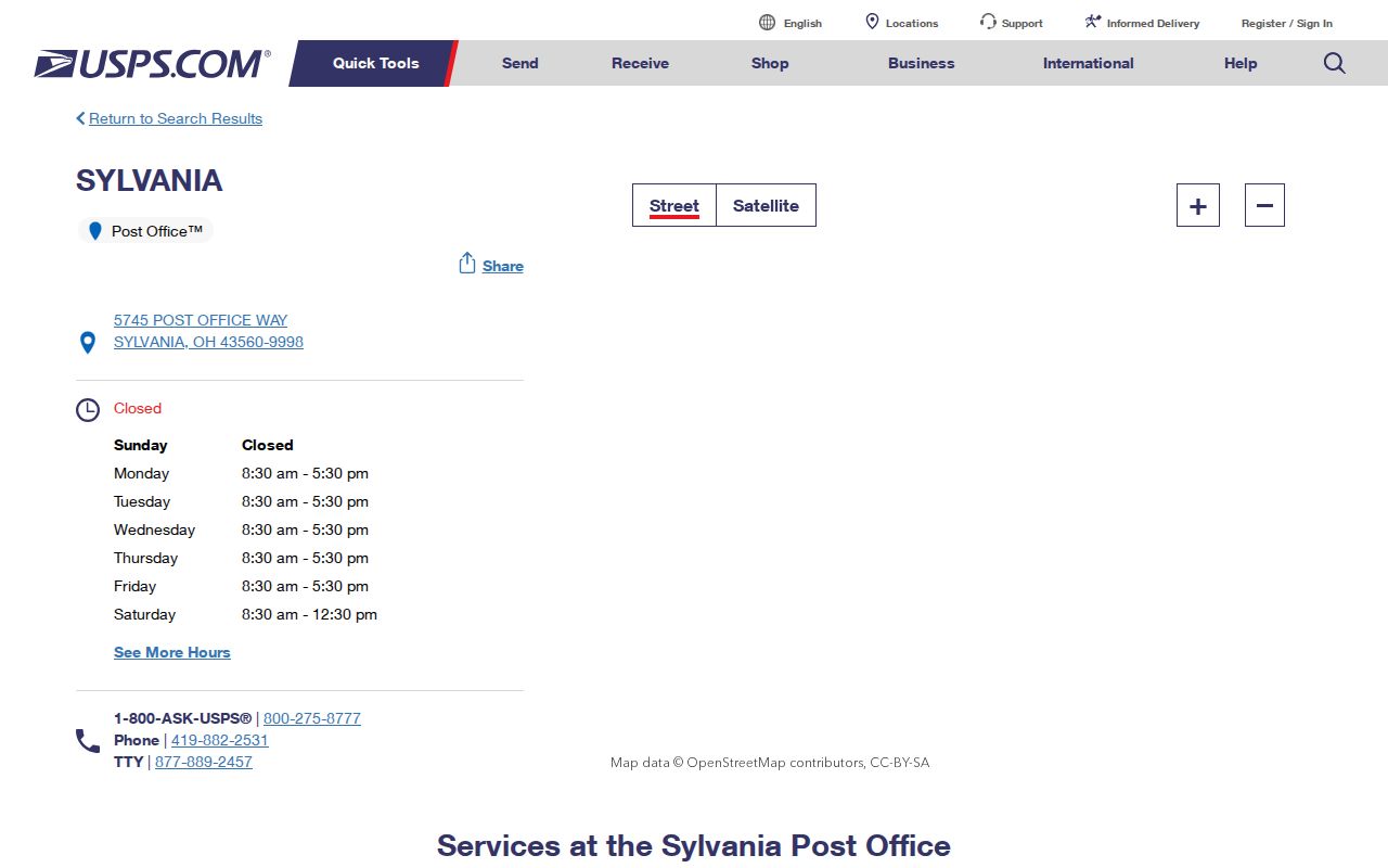
A postal facility and a ZCTA edge help orient a search. A complete USPS address result and an Auditor parcel record are still needed before a postal ZIP is tied to one property.
Springfield Township Postal ZIP Labels
For any ambiguous Springfield Township address, record three property labels as well as the postal ZIP: the situs or street address, the owner mailing address, and the legal description. The situs identifies the physical parcel. The mailing address is for tax correspondence and can be elsewhere. The legal description, often a lot, block, subdivision, or other land description, is the continuity key for Recorder documents when a mailing name or street pattern changes.
Monclova 43542 is another ZCTA-edge example. The USPS Monclova location capture documents the local post-office anchor, but the research did not establish that every Springfield Township address near that edge receives 43542.
When records disagree, keep the USPS result for delivery, the AREIS parcel or assessor number for county property research, and the Recorder legal description for the land-document chain. This Springfield Township postal directory is strongest when each label stays in its own lane.