
Springfield Township Neighbors by Block
Public sources around a Springfield Township block are best read as separate layers. The AREIS County Map and parcel cards provide nearby parcel geometry and owner-of-record context. Recorder instruments can extend the ownership history of an individual parcel. Township files may show a project or zoning action. Historic city and suburban directories can show an address listing for the edition that covers it. None of those sources is a full roster of the people who live on a block today.
| Block source | What it can show nearby | Access and boundary |
|---|---|---|
| AREIS County Map and parcel cards | Adjacent parcels, property attributes, and owner-of-record context | Map selection and individual cards; not a household roster |
| Recorder instruments | Recorded ownership sequence for a particular parcel | Search by party and legal description; no verified street-browse method |
| Lucas County voter records | Individual registration context where public | Name-based or geographic report route, subject to statutory exclusions |
| Township zoning and meeting material | Project, site, and land-use action | Address or project request; not a social directory |
| City and suburban directories | Historic address listings where the edition covers the street | Library collection; compare the edition year and street numbering |
| Subdivision or civic organizations | Public contact, restrictions, newsletter, or meeting route | Organization-specific and not a public member list |
A property owner and a resident can be different people. A tax mailing address can also differ from the parcel's situs address. For Springfield Township neighbors, read the exact labels on each parcel card and do not turn a map selection into a conclusion about a whole household.
Springfield Township Neighbor Parcel Cards
The AREIS address and property system combines ownership, sale history, taxes, historic transfer cards, property and building attributes, photos, sketches, and map context. Start with the target address or parcel. Then open the returned parcel card before looking outward. Capture the parcel or assessor number, owner of record, property address, transfer clues, legal description, and any displayed mailing field. The parcel number and legal description are the reliable handoff to the Recorder or a township request.
For a nearby Springfield Township parcel, repeat that review card by card. A selected set is only a map result. Each card can have a different owner label, address, transfer history, and tax context. The county cautions that its map boundaries are for tax purposes and are not a legal survey or conveyance description. Use a plat or recorded legal description when a boundary question matters.
The official county GIS route is the source for this parcel-context image. Open Lucas County GIS maps, apps, and data to confirm the layer and map date used for a Springfield Township block.
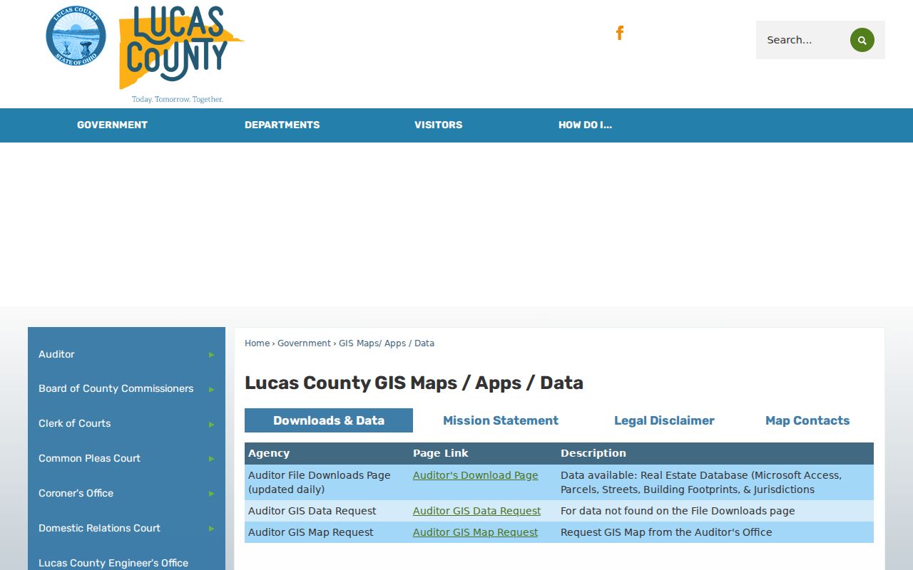
The county route provides GIS data and request paths that complement AREIS, but it does not change the parcel map's reference-only boundary limitation.
Map Springfield Township Neighbors
AREIS has map tools that make a block-level search distinct from a name lookup. The County Map can geocode an address or intersection, identify a parcel, and collect nearby parcels with point, box, freehand, polygon, line, or buffer selection. Its Selection Manager reports selected and available parcels and offers a current list. A buffer uses a distance and unit and can act on parcel center points or polygons, so record the method if it affects which Springfield Township neighbors appear in the set.
- Geocode the street address or intersection in the County Map and confirm the returned parcel or situs location.
- Use Identify on the target parcel, then select only the touching parcels or the limited radius relevant to the question.
- Open Selection Manager and View Current List, then review each selected Springfield Township parcel card separately.
- Save the parcel numbers and legal descriptions, not just a map image, before checking an individual Recorder instrument.
- For a full named-street record trail, use the Springfield Township street directory rather than treating a short map selection as the whole street.
Selected parcels form a research set. They do not establish a legal boundary, a family relationship, or a list of current occupants.
Note: Measure Distance and buffer controls are reference tools. Preserve the address, selection method, and date before comparing different map results.
Springfield Township Neighbor Selections
Map layers can add physical context for Springfield Township neighbors without changing the people-record limit. The county GIS information identifies parcel boundaries, building footprints, aerial imagery, floodplain, school-district, wetland, census-tract, and thematic-value layers. Spring 2024 aerial imagery is available in the county's GIS applications. Turn on one layer at a time and note its maintainer and date. Aerials or footprints can help compare the property setting, but they do not identify a resident or prove a current use.
If the question is ownership history, move from each selected parcel to the Recorder Public Access system. Search the current owner, grantor, grantee, or legal-description context with a bounded date range. The recorded deed sequence is parcel-specific. It should not be described as a reliable address browse for an entire block.
Springfield Township Neighbor Voter Limits
Ohio's individual My Voter Information lookup requires first name, last name, and county. It is not a public street-browse directory. For a geographic record question, the Lucas County report generator can filter precinct or district and produce report formats including a Walking List sorted by voter address, subject to the current form, exclusions, and Board procedures. The defensible process is to identify the relevant precinct or district first, then ask the Board what current public output and use notice apply.
The Lucas voter reporting route distinguishes an address-sorted output from a claim that every household is listed. Public voter information remains limited by ORC 3503.13 and ORC 3503.26. Telephone numbers, email, Social Security and identification numbers, confidential voter information, and protected-address material are excluded. Voting participation never reveals ballot choices.
The county Board of Elections is the source for this Springfield Township neighbors image. Use the Board's official contact route to request current guidance for a bounded public-record question.
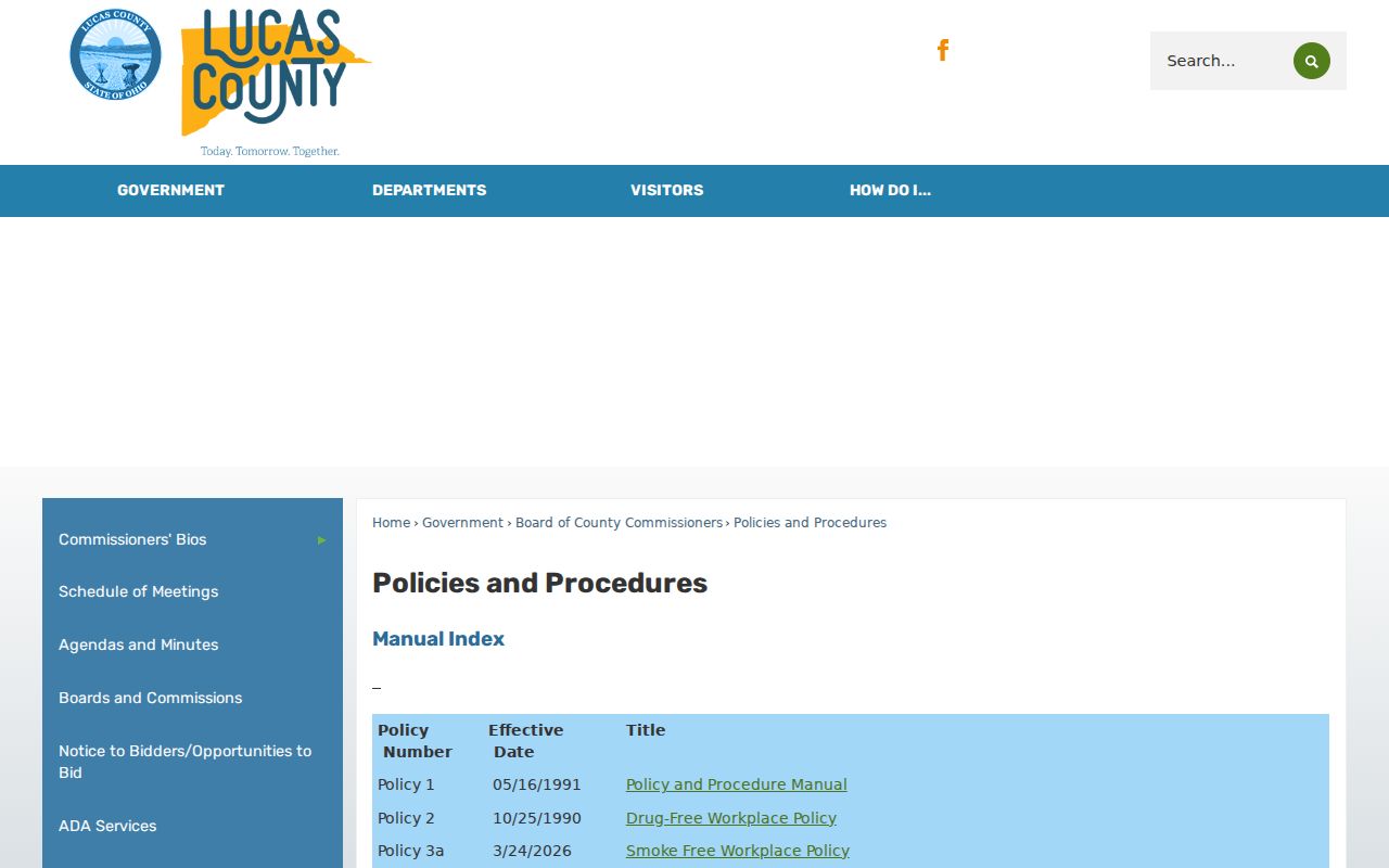
The Board, not a copied or old report, can explain current format, exclusions, charges, and the appropriate scope of a voter-record request.
Springfield Township Neighbor Contacts
Publicly identified organizations add a community-contact layer to Springfield Township neighbors research, but they do not provide a public roster. The concrete subdivision finding is Apple Blossom Farms Homeowners Association. Its restrictions identify Lots 1-179 in Plats 1-7 and list Baldwin, Courtland, Empire, Haralson, Rome, Ginger Gold, Harvest Gold, Jonathan, McIntosh, Winesap, Winter Sweet, and part of Pilliod Road. The organization offers contact and newsletter routes and says a directory may be supplied to new residents, but it does not publish a public member list.
| Public contact layer | What the source supports | What it does not support |
|---|---|---|
| Apple Blossom Farms Association | Subdivision streets, lots, restrictions, contact, and newsletter route | A public list of residents or members |
| Springfield Township meeting documents | Published public meetings, notices, and local-government context | A directory of nearby households |
| Township Planning and Zoning | Association-rule reminder and address or project record route | Proof of who lives at a parcel |
The public association page is shown below. Read Apple Blossom Farms restrictions and contact information when a parcel falls in that named subdivision.
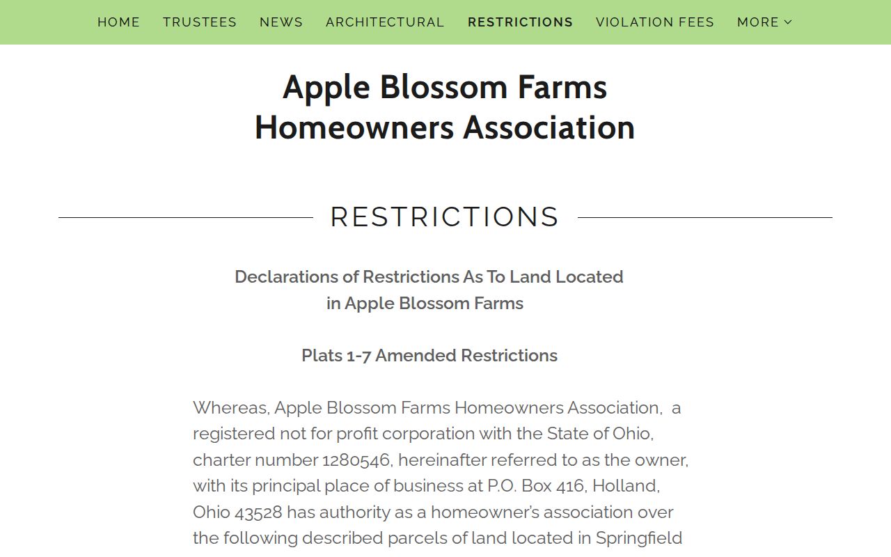
The association source is useful for subdivision context and contacts, while its lack of a public roster preserves the distinction between an organization and a people list.
Note: No verified townshipwide neighborhood-association umbrella, block-watch roster, congregation roster, or public association directory was located in the research.
Springfield Township Historic Neighbors
For historic Springfield Township neighbors, use a directory address section only for the edition and street it actually covers. TLCPL's Toledo City Directories run from 1858 onward, with street and address indexing described from 1910 forward. Toledo Suburban Directories run from 1957 onward. Compare the chosen edition with an adjacent year, then pair an address listing with the parcel's legal description, maps, and recorded transfer sequence. Historic mailing names may be Holland, Maumee, Monclova, Sylvania, or Toledo depending on the time and place.
Township meeting documents are a separate public layer. They may help place a zoning, Board of Trustees, BZA, or Zoning Commission action in time, but they should never be treated as evidence that someone lived at an address. The Springfield Township meeting-documents page is the source for the image below.
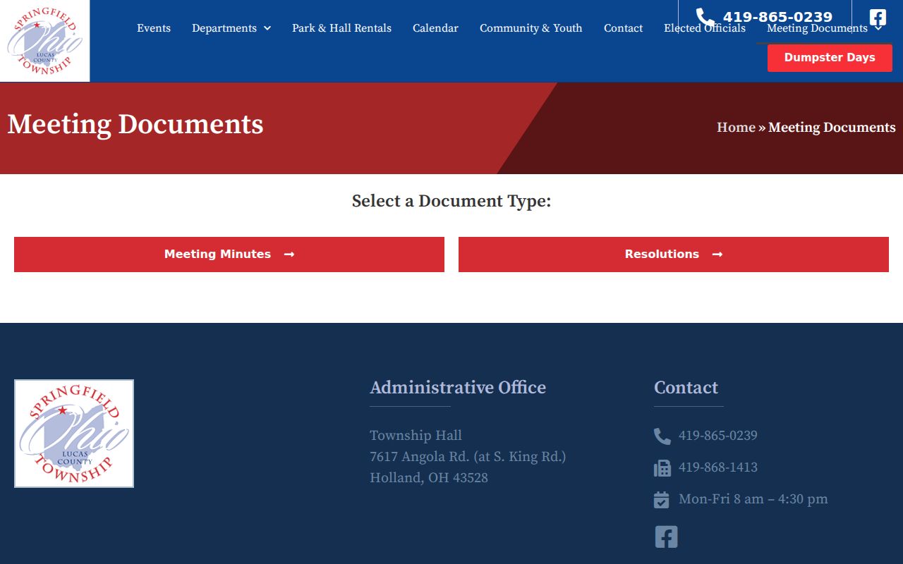
Meeting material can document public action around a place. Directory entries and parcel records remain the separate sources for a dated address trail.
Springfield Township Neighbor Privacy
Official parcel and civic sources are not interchangeable with a household directory. AREIS identifies an owner of record or tax-mailing context, which may differ from the person at the property. Motor-vehicle records are protected, and municipal utility customer name, address, and usage information are excluded from ordinary public-record access. Court files can also be sealed or subject to juvenile, adoption, victim, and other privacy restrictions. A missing entry can reflect those limits, a date issue, or the wrong jurisdiction.
| Official record route | Commercial compiled lookup category |
|---|---|
| Shows a defined record, source date, and custodial limit | May merge public and inferred data with different update practices |
| Allows a parcel, deed, map, or voting record to be checked with its keeper | Does not replace checking the originating public office |
| Requires respect for redactions, protected records, and source-specific access rules | May offer opt-out procedures, but public source changes can later reappear |
Ohio Safe at Home can protect an eligible participant's address. A protected voter or parcel record is a legal boundary, not a gap to work around. ORC 149.43 requires custodians to release nonexempt material with lawful redactions, while ORC 111.42 and ORC 111.43 govern the program's address-confidentiality framework.
Lawful use. Springfield Township neighbor research can support civic curiosity, reconnecting, and understanding a block. Do not use records to follow, threaten, harass, or expose another person, especially where law protects information.
Springfield Township Neighbor Project Records
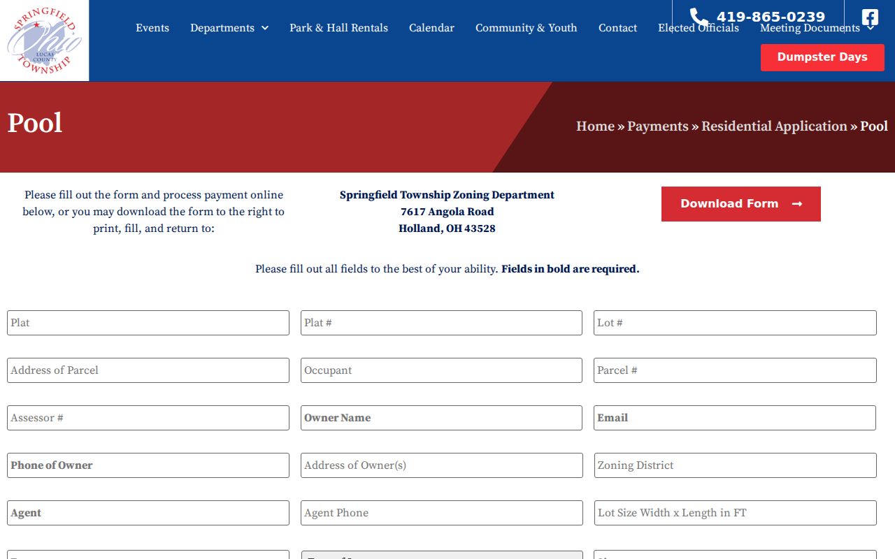
Physical changes at a nearby property are a separate question from who lives there. The Township's residential application route records project and parcel information such as plat or lot, address, assessor number, owner or agent contact, zoning district, work description, plans, signature, and payment. It is an application intake form, not a searchable historical permit database. For older material, make a bounded request by address, parcel, year, and project type.
The Springfield Township residential application is the source for this form image. It shows why a property-file request should use the parcel and project details already gathered from AREIS.
A permit record can date a project or identify the file to request. It does not convert a parcel search into a current household roster.